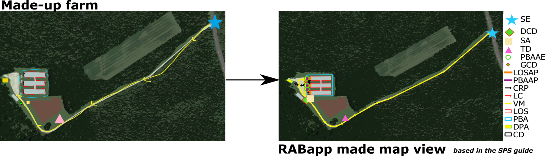
To accompany the written plan based on SPS information, the RABapp™ staff combine 169 biosecurity fields with a GIS map.
To do this, RABapp™ staff construct a map of each individual farm using images provided by farms and producers. They then transform this into a project GIS map. All farms are digitalized in the same standardized way to ensure harmonization throughout each state.
This process ensures that the RABapp™ includes sufficient and accurate information from all farms. This process also adheres to the documentation published by the SPS Secure Pork Supply plan. For more information visit the SPS webpage.